
The Col de Tamie Cycling is one of the climbs that are lesser well-known, the kind you keep in your back pocket for a nice day out, or maybe something else interrupts your plans, like a hell of a storm, so you head for somewhere you know will be enjoyable and not where you’ll feel like you’ve gone a few rounds with Mike Tyson.
It was for us on this day, as we were originally heading for Alpe d’Huez, but that was covered in clouds and a little lightning, so we headed To ‘Tamie’ instead.
The first ascent of the Col de Tamie was made by the Tour de France in 1957, with a further 8 climbs to date, so you can add this to the list of tour rides to tick off.
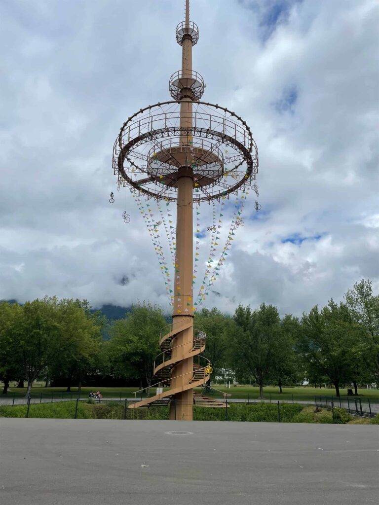
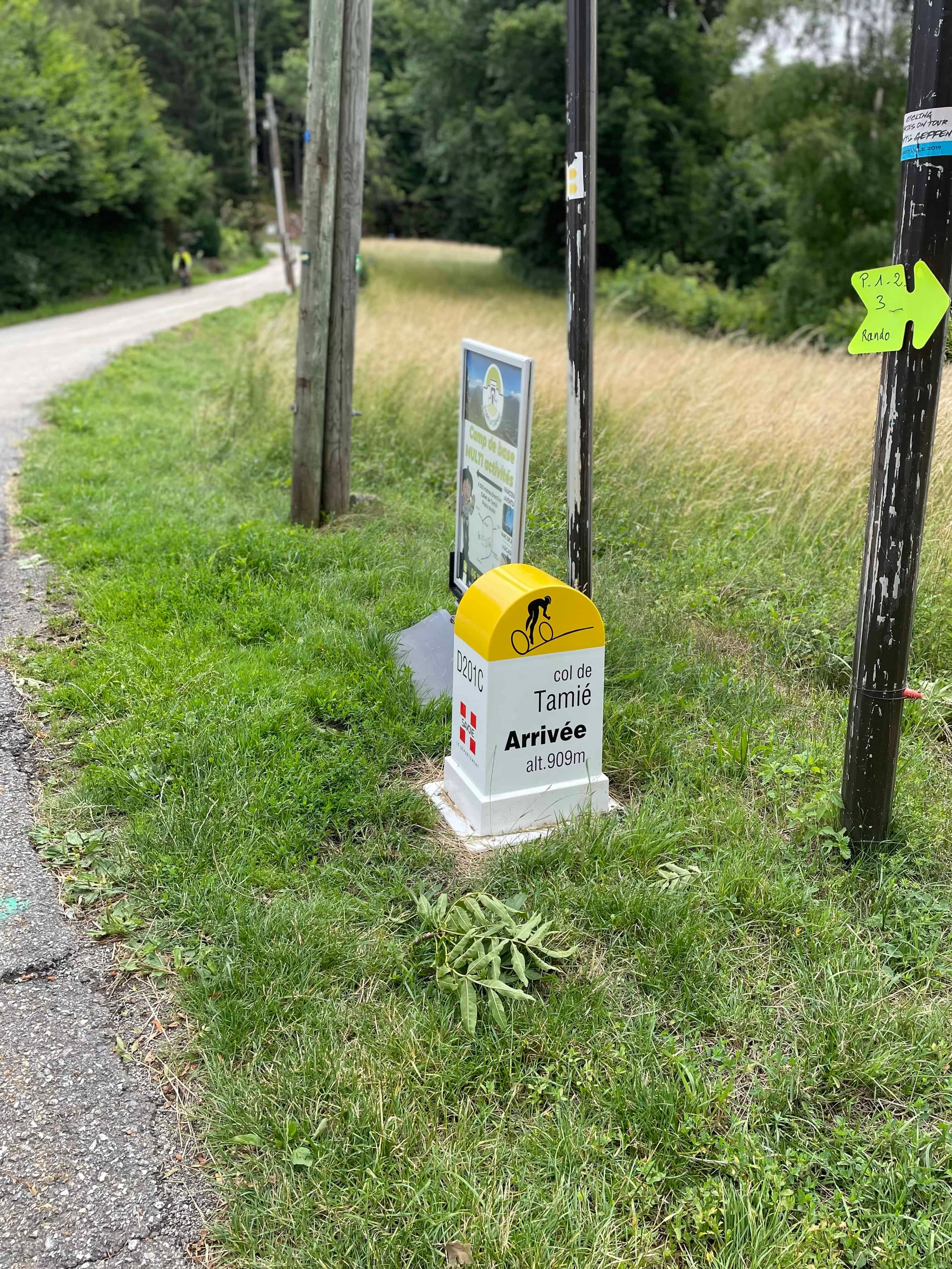
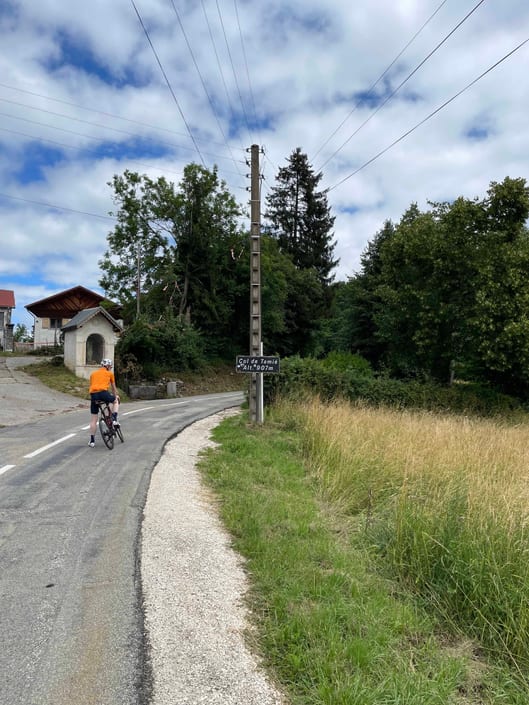
The Col de Tamié is an alpine road pass in the Massif Des Bauges, near Plancherine, at 907m. It’s close to Albertville, which was ready for the Tour to ride through just a week later.
It’s 9.7km long and 393 vertical meters with an average gradient of only 4%, with the top of the ascent at 919 meters above sea level. The steepest quarter mile of this climb is 8.3%, and the steepest continuous mile is 7.4%.
It is what you could call a gentle climb as you never near 10%, with just over 4.5 miles of the climb being well within the 5% grades, so apart from the first early km, you can climb at a good pace knowing nothing too taxing is ahead.
Our day was overcast and damp, but our spirits were not. As we left Albertville and all the Tour decorations behind, it gave you a real boost knowing you’ve just ridden through an area the Tour will be in just a matter of days…the one thing they won’t be doing this year is going where we are heading, but that’s life.
As you start to climb, the first few km have the ‘harder’ gradients, and the roads were fairly busy with traffic, but you could see why as there were plenty of side roads that left off to residential areas and as you continued to climb, it got quieter and as you twisted and turned you are greeted with a really nice view of the land below and surrounding towns. This isn’t a mountainous terrain you would get when climbing all the main tick-list Cols, but this is another reason it is a nice climb. You see something different, and it makes a welcome change.
At 9km, a road to the right goes to the Abbaye de Tamie, a Cistercian house founded in 1132. It is still home to a small community of Trappist Monks who make the famous Abbaye de Tamie Cheese, similar in style to Reblochon, the cheese used in the classic Alpine dish, Tartiflette.
When you hit the summit, there is the obligatory photo opportunity by the summit sign and then the descent…It was a winding, smooth, enjoyable descent through Faverges, then a gentle coast back into Albertville.
Directions: Col de Tamié Cycling
Col de Tamie is a mountain pass located in the French Alps, in the region of Savoie. There are two main routes to ascend, from Albertville towards Plancherine on the D201C and then descend to Faverges on the D12. Or the opposite route!
Col De Tamie Statistics
We rode the D201C route from Albertville, and the vital statistics for this ride are:
- Total climb length: 9.7 km
- Summit altitude: 909 m
- Total ascent: 393 m
- Average gradient: 4 %
- Steepest section: 8.3 %
Col de Tamie Travel Tips
We flew with British Airways from LHR to GVA (but BA forgot a bike!).
Everything else (airport pickups, accommodation, meals, route planning, bike guide, vehicle support, encouragement) was provided by Anna & Steve from Classic Cycling Tours.